Geology of a Natural Disaster
Interview with
Chris- You couldn't really have escaped the coverage this week of the disaster that's happened in Haiti. We've heard lots and lots of reports from Port-au-Prince, the capital city in Haiti where they had the earthquake earlier this week. It was said to be magnitude 7 on the Richter scale and the number of people who may be dead or injured runs into many thousands. Loads of those reports have looked at the humanitarian crisis, but very few of them have actually looked to what's going on geologically. So, we've invited Dr. Paul Mann, a Geologist at the Institute for Geophysics at the University of Texas at Austin, to join us and fill us in a bit more. Paul, welcome to The Naked Scientists.
Paul - Okay, thank you for having me.
Chris - It's a pleasure. Could you first of all, in practical terms explain to us what a magnitude 7 quake is?
Paul - Okay. The term magnitude refers to the Richter scale which is a way to assign a number to quantify the amount of seismic energy released by an earthquake. It's a logarithmic scale, so an earthquake with a magnitude 5 on the Richter scale would be 10 times larger than a magnitude 4.
So just to tell you what the effects of these different magnitudes might be as a person, the 0 to 2 level is not felt. The magnitude 3 level would be felt, but there's no damage. Magnitude 4 you have shaking with limited damage. Magnitude 5, you're talking major damage. Magnitude 6 is considered a strong earthquake and that can cause destruction especially in populated areas. Just to give you an idea of how many magnitude 6 earthquakes there are per year, there's about 120. Magnitude 7, which is the size of the Haiti earthquake is considered a major earthquake with damage over large areas. There's about 18 magnitude 7 events per year. Remember that most of them are occurring in unpopulated areas, so that the Haiti event is unique in that respect, in that it occurred in a very densely populated area. Therefore, you have a lot of casualties.
Chris - And geologically Paul, what actually went on to cause this to occur?
Paul - Well basically, we're on a plate boundary. We're on a boundary between a 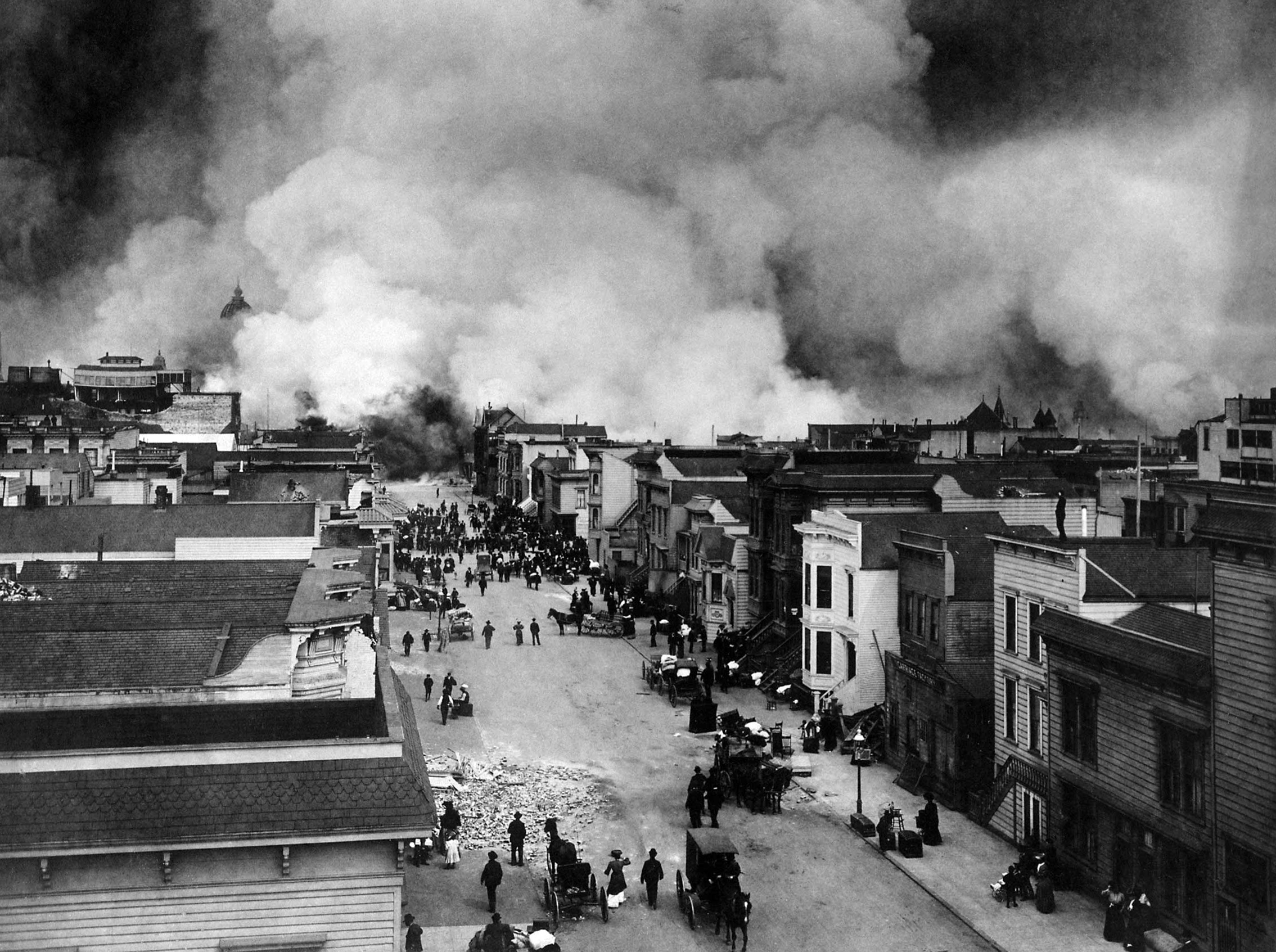 small plate, it's called the Caribbean plate, and the North American plate. And if you can visualize this geographic region, this is the Caribbean - we've got Haiti and Dominican Republic sharing the island of Hispaniola. We've got Jamaica off to the west. We have Central America farther to the west. So through this area runs a roughly east-west trending fault system. We call it a 'strike-slip fault' and what that means is that the two sides of the fault are moving horizontally with respect to each other. But this fault movement doesn't occur in a steadily slipping way. Instead, it occurs with the sort of spasmodic jerking motions. These faults, because they're so irregular along their surface can actually store motion for hundreds of years.
So, what's happened in Haiti is that the fault is basically a frozen surface. It hasn't moved since, we think, about 1770. As the plates keep moving past the fault which is frozen, the fault reaches a point where it can no longer sustain the stresses that have built up along it. So, what happened in Haiti was that suddenly the fault ruptured in order to catch up to the plates which have been smoothly moving past each other for these hundreds of years.
Chris - And when you say energy is being stored in the fault, in what form is the energy being stored? Because obviously, the plates are trying to move past each other, a couple of centimetres a year, the fault isn't going anywhere. So where is the energy actually going and how is it being stored there?
Paul - Well, the energy is elastic energy and it's being stored in the rock beneath the fault trace that we see at the surface. And remember the surface area of this fault is very large because it's cutting down through the upper part of the crust. This particular earthquake, its hypocenter, or the zone of rupture at depth, was about 5 kilometres below the earth's surface, so it gives you an idea of the large surface area along these very irregular fault planes. But it would be analogous to drawing a rubber band back and that rubber band is storing elastic energy to the point where the rubber band breaks, and that would be analogous to the earthquake.
Chris - You made some predictions a couple of years ago, or a year and a half ago that this may be about to happen. How did you manage to do that?
 Paul - Well, in seismology, we avoid use of the term 'prediction' and really to predict something, you have to be able to precisely state many aspects of the earthquake including the epicentral area or where the earthquake occurs, the size of the earthquake, which is magnitude 7 in this case, and most importantly, when exactly that earthquake is going to occur. For example, it's going to occur two weeks from now or two years from now. Unfortunately in seismology, there is no success by anyone in predicting earthquakes. What we did with this event is what we call "forecasting", much like a meteorologist might do on a weather forecast. We stated that we had a major fault which we call the "Enriquillo-Plantain Garden fault zone." We know this fault extends about 600 kilometres between Jamaica and Southern Haiti. We know that from our GPS studies which were done by Dr. Eric Calais at Purdue University that this fault was moving at a rate of about 7 millimetres a year, and remember the fault itself isn't moving, but the plates on either side of it are moving at that rate. And finally, from our historical records of Haiti, we know that the last fault moved, or the last large earthquake which we think was related to this fault, occurred in the 18th century. So we take the amount of time, roughly 250 years, we take the rate derived from the GPS studies, 7 millimetres a year, we calculate how much strain has accumulated which was about 2 meters. We can convert the amount of strain accumulated to the size of the expected earthquake which we had said was about 7.2 and the event turned out to be 7.0. But I think the key element here is that we did not make any statement about "this earthquake was going to occur on January 12th". All we said was that this was an area of high seismic risk, especially given the existence of Port-au-Prince, a city of 2 million people, very poor construction practices, and it's only 20 kilometres north of the fault.
Chris - And just to finish off very briefly, Paul. What's the chances that this is going to happen again very, very soon? Do you think this is done for now or do you think that there's a lot more energy still sitting there and we should expect this to rumble on a bit longer?
Paul - Well, one of the interesting aspects of this type of strikes of earthquakes is that the release of strain over an area in this case of about 80 kilometres can actually cause an increase in strain on the adjacent segments of the unruptured fault. And there are many people now at the US Geologic Survey and other universities who are working on models which are trying to predict, or to forecast, whether these adjacent of the fault will rupture and what the timeframe might be. But again, with any studies of earthquakes, we have to be very careful about using this word prediction, just because it is a very inexact science at this point
- Previous The Ecology of Insurgency
- Next Artificially Intelligent Games








Comments
Add a comment